
Landcare led monitoring of recovery post bushfire in East Gippsland
About the project
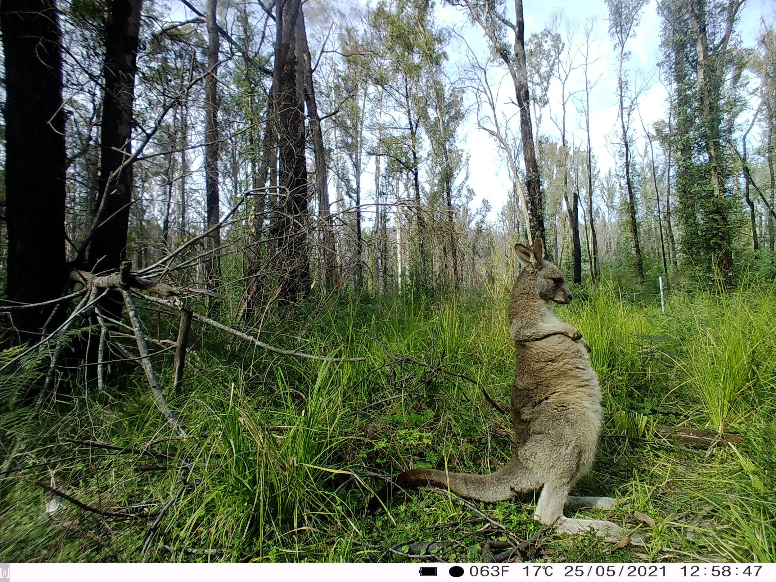
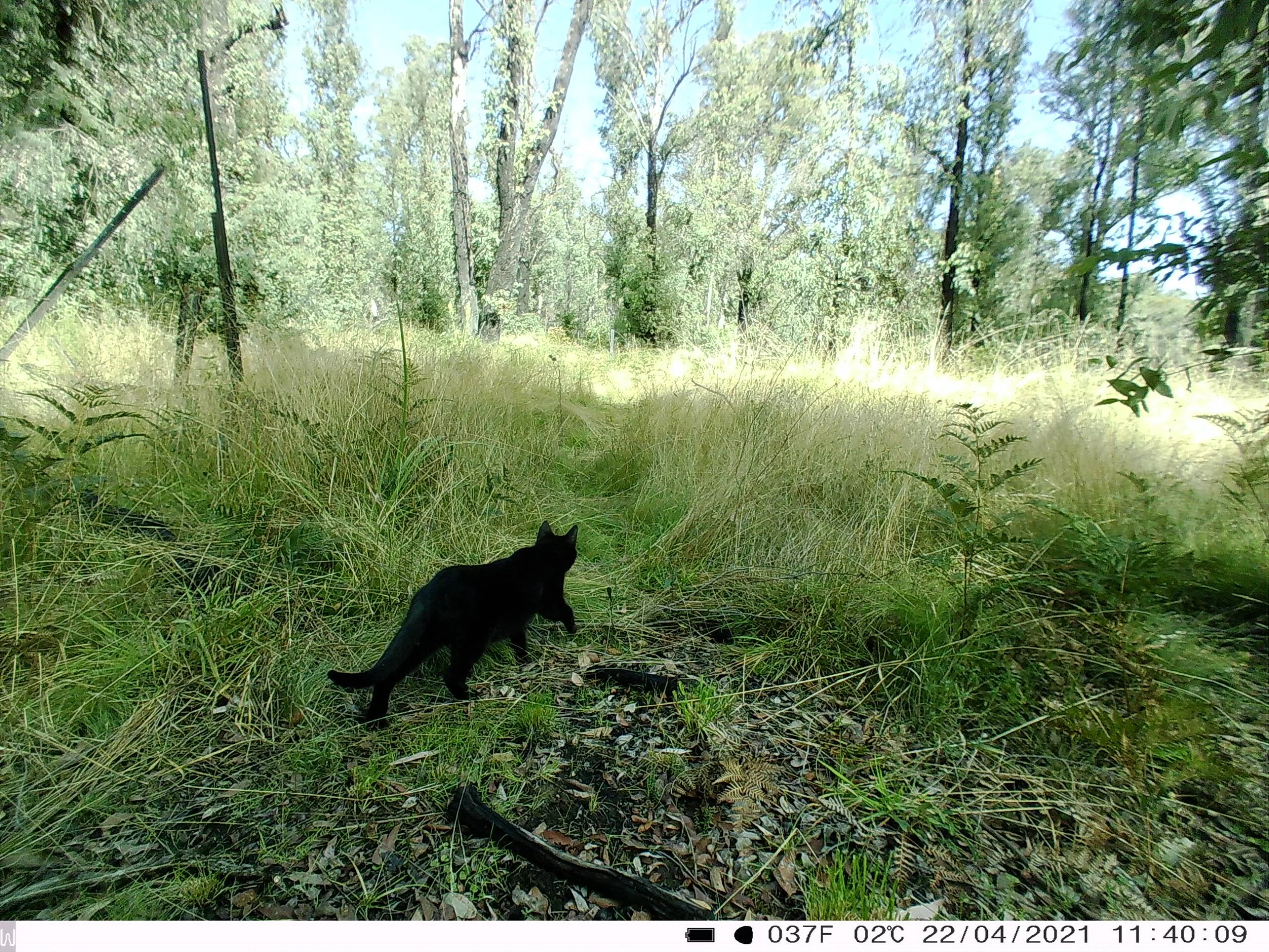
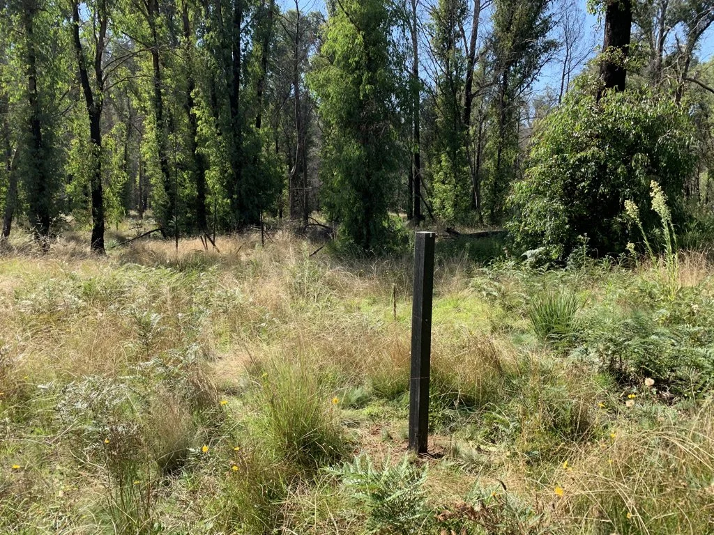
Landcare Networks in East Gippsland initiated a post bushfire monitoring program across the region. This initial project installed 40 cameras and 18 photo points across private properties in bushfire impacted areas. The aim is to capture data on animal species present and can allow for the identification of species presence, distribution and abundance. Photo points are fixed point images taken at regular intervals so that changes in vegetation can be demonstrated.
Through this second funding 20 more cameras were installed across an additional 10 sites.
Community is involved in this citizen science project however it was been identified that many do not have the infrastructure to safely guarantee the electronic delivery of data. This project will ensure that data is collected and collated efficiently and provides a powerful monitoring platform that can help guide future bushfire recovery projects in the region. The project will also see planting of 2000 native seedlings as feed trees for species such as the glossy black-cockatoo or koalas.
Acknowledgements
The final report for the FEVL monitoring project outlines which species were found by location and includes information on feral species found and some basic analysis of feral verse native species detection.
